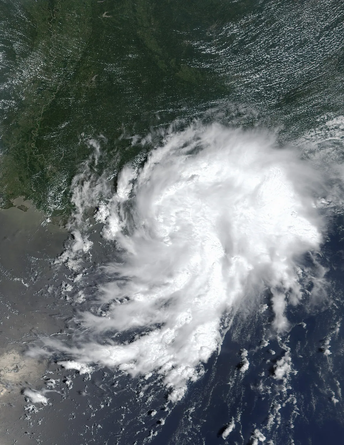
A slow-moving tropical storm is grinding toward New Orleans right now, and forecasters are not being subtle about what happens next. Tropical Storm Bertha is packing a "life-threatening storm surge," possible tornadoes, and enough rain to dump eight inches on parts of the Gulf Coast by Friday. New Orleans is already handing out sandbags.
What Bertha Is and Where She's Headed
As of Monday, the BBC reports that Bertha was sitting roughly 105 miles south of Panama City, Florida, spinning at 40 mph and crawling northwest at a leisurely 3 mph. That last number matters. A slow storm is a wet storm. The longer it sits over a place, the more rain it dumps, and right now the National Hurricane Center is projecting some areas will see up to 8 inches of rainfall by the end of the week.
The NHC says Bertha is expected to make landfall near New Orleans by Wednesday, which gives the city a narrow window to prepare. Tropical storm-force winds are already extending 70 miles out from the center, meaning this thing is wide. A tropical storm watch is in effect stretching from Ochlockonee River in Florida all the way west to the Jefferson/Plaquemines Parish border in Louisiana.
Four States Bracing for the Worst
Alabama, Florida, Louisiana, and Mississippi are all in the crosshairs. The BBC reports that storm surges of between one and four feet are expected along parts of the Louisiana and Mississippi coastlines, and flash flooding could hit urban areas hard. Florida is also being flagged for isolated tornadoes, which is the kind of thing that sounds almost manageable until one shows up in your neighborhood.
After landfall, the NHC projects Bertha will weaken back to a tropical depression by Thursday and likely fizzle out near Texas by the weekend. That's the good news. The bad news is that everything between New Orleans and the Florida panhandle has to get through the storm first, and the region is already baking in summer heat that makes the humidity feel like a punishment.
New Orleans Is in the Bullseye, Again
There is a reason the words "New Orleans" and "storm surge" together make people go quiet. The city is distributing sandbags. Residents have been asked to clear storm drains. Those are not the actions of a city that thinks this will be a minor inconvenience.
New Orleans sits below sea level in large portions of its footprint, and the city's drainage and levee systems, while substantially upgraded after Katrina, are not magic. Even a modest surge combined with persistent rainfall over several days can overwhelm infrastructure that was never designed for exactly this kind of slow, grinding storm. The NHC is not overreacting by using the words "life-threatening." They mean it.
Still Early in a Season That's Already Flooding People Out
This is only the second named storm of the 2026 Atlantic hurricane season. The BBC notes that Tropical Storm Arthur caused flooding last month, so the Gulf Coast is already on a two-storm streak before we've even hit the statistical peak of hurricane season in late August and September. That should make anyone living in a flood-prone area deeply uncomfortable about what comes next.
Bertha is not a monster hurricane. The wind speeds are modest by storm standards. But the combination of storm surge, heavy rainfall, possible tornadoes, and a painfully slow forward speed makes it the kind of storm that does serious, lasting damage to communities that are already stretched thin from the last time the sky decided to make a point.
The Dingo Take
Here's the thing about a storm like Bertha: it doesn't need to be Katrina to ruin a city's week, or a family's year. Four feet of storm surge into a neighborhood that was still recovering from the last flood is four feet of storm surge. Eight inches of rain on already-saturated ground doesn't care how low the wind speed is. The people handing out sandbags in New Orleans right now are not overreacting. They are doing exactly what you do when you've learned, at great cost, that you can't afford to wait and see.
What's genuinely maddening is how routine this has become. Gulf Coast storm season now comes with a grim predictability: storms form, communities scramble, the federal response machinery either creaks to life or it doesn't, and then two weeks later the news cycle moves on and the people whose houses flooded are left sorting through what's left. Bertha may fizzle by Friday. That would be genuinely good news. But the sandbags are out, the surge is real, and four states are about to find out how seriously their disaster preparedness was funded this year. History suggests the answer is: not seriously enough.




Comments