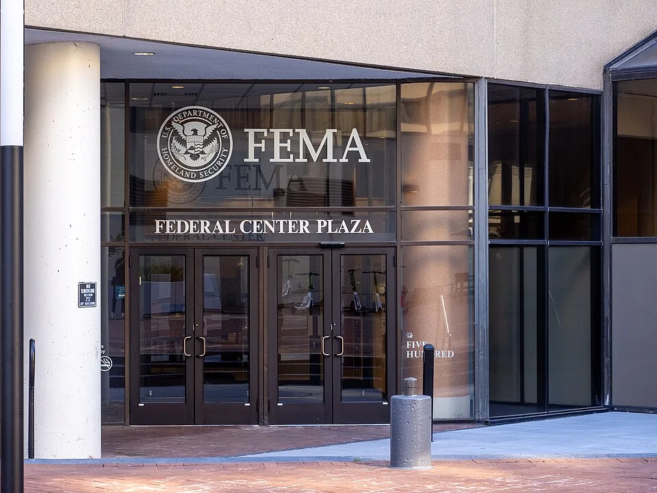
The White River in Anderson, Indiana just hit 24.9 feet, shattering a flood record that had stood since 1913. At least three people are dead, more than 150,000 homes are without power, and somewhere between 'most' and 'almost all' of the affected homeowners have no flood insurance. Why? Because FEMA told them they didn't need it.
What's Actually Happening on the Ground
A week of relentless thunderstorms has hammered Indiana and Ohio with more than 11 inches of rain in some areas, according to NPR. The National Weather Service is forecasting more heavy storms through at least Sunday, pushing into already-saturated soil across the Ohio Valley, the Midwest, and central Appalachians. Flash flood and flood warnings are active across central Illinois and central Indiana. Flood watches stretch from Iowa and Missouri all the way east to central West Virginia.
Indiana Governor Mike Braun has declared a Statewide Disaster Emergency, mobilized the National Guard, and formally requested a presidential emergency declaration through FEMA for federal funding and resources. Parts of Indiana have also taken tornadoes and a derecho on top of the flooding, because apparently the state just needed to suffer as completely as possible this week.
Real People, Real Losses, No Insurance
Cyndee Gillmore runs the Cornerstone Campground and Retreat Center in New Castle, Indiana. As NPR reports, five feet of water swept through her property, flooding the kitchen, the banquet hall, the youth center, and every mobile camper on the grounds. She is standing in her house right now. It smells, she says. But she's focused on community, on neighbors pitching in, on getting through it.
"Nobody has the money to fix all of this," Gillmore told NPR. "I don't know how people will make it."
She doesn't have flood insurance. Neither do most of her neighbors. This is not a personal failure or an oversight. This is the predictable, documented result of a federal mapping system that told these people they weren't at risk. They trusted the government's assessment. The government was wrong.
The Maps Were Broken Before the First Drop Fell
Here's the part that should make you genuinely angry. NPR's own investigative reporting found that FEMA's flood maps have for decades failed to account for rainfall and flash flooding. The maps were built around coastal storm surge data and large river flooding. They do not adequately capture the kind of intense, climate-supercharged rainfall events that are becoming more common and more devastating across the interior of the country.
First Street, a climate risk modeling firm in New York City, found that more than twice as many Americans live in dangerous flood zones than FEMA's official maps indicate. Twice as many. Which means millions of people have been told by the federal government that they are fine, that flood insurance is not required, that the maps say so. The maps are wrong.
The cruel math of this is simple: if FEMA's map doesn't include your property in a flood zone, your lender won't require flood insurance. If your lender doesn't require it, most people won't buy it. When the water comes anyway, you have nothing.
Hurricane Helene Already Showed Us Exactly How This Ends
This is not a hypothetical warning. We have already watched this play out at catastrophic scale. When Hurricane Helene devastated western North Carolina in 2024, NPR reports that 98% of the damaged homes were not included in FEMA's flood maps. Ninety-eight percent. Because those homeowners weren't required to carry flood insurance, the vast majority didn't have it. They lost everything with no financial backstop.
The Midwest flooding of August 2026 is setting up to be a repeat of that disaster, just distributed across a wider geography. The National Oceanic and Atmospheric Administration has already predicted minor to major flooding across multiple regions. Weather Service gauges recorded nearly 10 inches of rain at Washington Municipal Airport in Iowa, almost 8 inches in Glouster, Ohio, and more than 6 inches in Elkhorn Creek, Kentucky. As NPR points out, all of that water is now making its way downstream, with more storms still coming.
What the Federal Government Is Doing About This Systemic Failure
Governor Braun has asked FEMA for an emergency declaration, and that process will grind forward as it always does. There will be disaster relief funds. There will be temporary assistance. There will be press conferences.
What there will not be, at least not anytime soon, is a fundamental fix to the broken mapping system that left these communities exposed in the first place. FEMA has known about these deficiencies for years. The problem is not secret. The reporting exists. The climate modeling exists. First Street published it. NPR investigated it. Everyone in the relevant federal agencies is aware that the maps are inadequate. The maps remain inadequate.
The Dingo Take
You are supposed to believe this is a natural disaster. And in the narrow technical sense, yes, heavy rain is a meteorological event. But the financial catastrophe hitting Indiana right now is not natural. It is manufactured, document by document, over decades of federal flood mapping that deliberately excluded the kinds of flooding that climate change is making more frequent. FEMA drew the lines. Homeowners trusted the lines. The water ignored the lines entirely.
The North Carolina precedent is sitting right there, eighteen months old, and we are watching the same setup unfold in the Midwest in real time. When 98% of Hurricane Helene's damaged homes turned out to be off FEMA's maps, that number should have triggered a national emergency review of the entire mapping program. Instead, it became a talking point in congressional hearings and then mostly disappeared from the news cycle. Now Indiana is breaking 1913 flood records and Cyndee Gillmore is standing in her ruined kitchen hoping her neighbors bring casseroles.
The federal government runs the flood insurance program. The federal government produces the maps that tell people whether they need flood insurance. The federal government has been told, repeatedly and specifically, that those maps are wrong. Three people are dead, 150,000 households are in the dark, and communities are facing financial devastation they were never warned to prepare for. At some point this stops being a policy failure and starts being something closer to negligence with a body count.




Comments