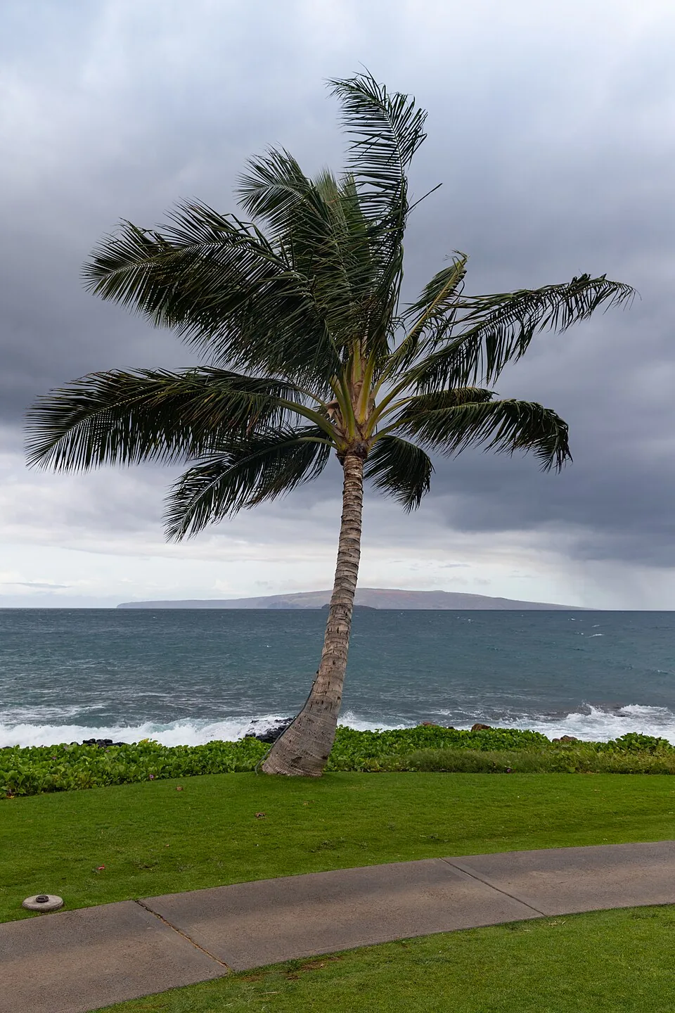
Hawaii got walloped by Hurricane Lala last weekend, with some areas burying under three feet of rain in a matter of days. The ground is saturated, the damage is still being assessed, and Tropical Storm Moke just showed up anyway. Because of course it did.
Moke Is Not Making Landfall. That Is Cold Comfort.
Tropical Storm Moke will not make direct landfall in Hawaii. The National Hurricane Center wants you to know that. They would also like you to know that it doesn't matter much, because the storm is still expected to dump five to ten inches of rain on the already-wrecked Big Island, with some locations getting up to fifteen inches. That's on top of the ground that is already soaked through from Lala.
As of midday Saturday, CBS News reports Moke was packing maximum sustained winds of 50 mph and was expected to strengthen throughout the day. The storm skirted south of the islands, hitting the Big Island on Saturday night and pushing through the rest of the chain early next week. So everyone gets a turn.
Lala Already Hit Like a Freight Train
To understand why Moke is so dangerous, you have to understand what Lala just did to these islands. A hurricane hasn't made direct landfall in Hawaii since Iniki in 1992. Lala didn't technically break that streak, but with its eye passing just 30 miles off the Big Island's coast as a Category 1, it didn't need to. Wind gusts over 80 mph. Torrential rain. Some areas saw more than three feet of rainfall over the weekend.
Kapalua, in Maui County, was hit with 48 inches of rain. Forty-eight inches. That is four feet of rain. In one weekend. And now Moke is rolling up on eastern Maui with another three to six inches forecast on average.
The National Hurricane Center issued a blunt warning about what comes next: "This rainfall may produce life-threatening flooding and mudslides for the windward and southeast Big Island, especially in steep terrain and over areas that were affected recently by Lala." When the federal forecasters use the phrase "life-threatening," that's worth reading twice.
Hawaii Had to Reactivate Its Emergency Center It Just Shut Down
According to CBS News, Hawaii activated its joint information center on Saturday, just days after deactivating it following Lala. That detail should stop you cold. The state stood up an emergency coordination operation, wound it down because they thought the crisis had passed, and then had to stand it right back up again within the same week.
The joint information center coordinates public updates from the Hawaii Emergency Management Agency. Running one of these operations is not a small lift. Running two in the same week is the kind of thing that breaks emergency management systems and exhausts the people inside them. The workers responding to this second storm are the same ones who just spent a week responding to the last one.
El Niño Is Doing Exactly What El Niño Does
None of this is a fluke. CBS News reports that Hawaii is paying the price for an active El Niño climate pattern, which warms waters in the eastern Pacific Ocean. Warm ocean water is the essential fuel for tropical cyclone development. More fuel means more storms, stronger storms, and storms that hold together longer.
El Niño also reduces vertical wind shear, which is the change in wind direction at higher levels of the atmosphere. Wind shear is essentially what tears tropical systems apart before they can get going. Less shear means storms that develop in the region don't get blown apart. They survive. They strengthen. They find Hawaii.
This is not a once-in-a-generation anomaly. This is a documented climate pattern doing what it does, in a world where baseline ocean temperatures are already elevated. The conditions that produced Lala and then Moke in the same week are not going away.
The Dingo Take
You are supposed to look at two catastrophic storms hitting the same islands within eight days and call it bad luck. It is not bad luck. It is a warming Pacific Ocean feeding a hyperactive hurricane season during an El Niño phase, hammering a state that already had almost no modern institutional memory of handling direct hurricane strikes, because the last real one was in 1992. Thirty-four years. That is how long Hawaii had before getting back-to-back.
The part that deserves more attention than it's getting: the ground on the Big Island is already saturated from Lala. When you dump fifteen more inches of rain onto ground that has already absorbed three feet in the past week, that water has nowhere to go except downhill, fast, taking everything loose with it. Flooding is one thing. Mudslides are another. Mudslides on steep terrain, in areas already weakened and destabilized by the previous storm, in communities that are still in active recovery mode, is the scenario that turns a bad weather event into a mass casualty one.
Hawaii needs federal resources, it needs them now, and it needed them yesterday before Moke even arrived. Whether those resources show up in adequate force is the question nobody in the comfortable parts of the mainland is asking loudly enough.



Comments