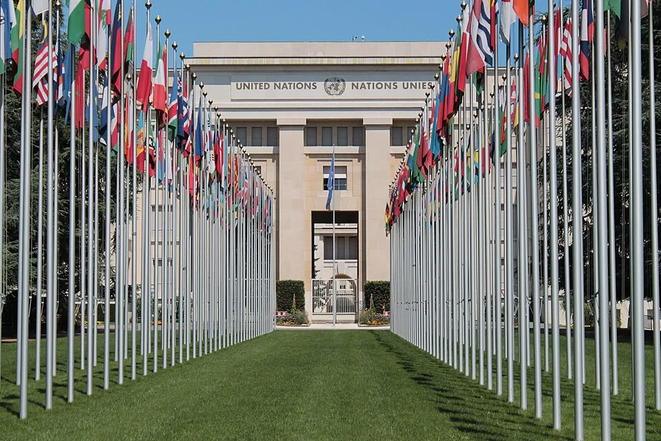
On Friday, 164 countries voted at the United Nations General Assembly to encourage the world to stop using a 16th-century map that makes Africa look roughly the same size as Greenland, when Africa is actually 14 times larger. One country voted no. You already know which one.
A 500-Year-Old Lie, Finally Called Out
The resolution, introduced by Togo on behalf of all 54 African member states at the UN and backed by the African Union, passed 164 to 1. Six countries abstained: Serbia, Estonia, Georgia, Lithuania, Moldova, and Ukraine. The United States cast the only vote in opposition.
The "Correct the Map" campaign has been pushing this for years. The target is the Mercator projection, created in 1569 by Flemish cartographer Gerardus Mercator, which was designed specifically to help European sailors navigate the open ocean by preserving compass bearings along straight lines. That is a genuinely useful thing for a map to do, if you are a 16th-century mariner. As a general-purpose picture of the world hanging in every classroom on earth for the last several centuries, it has been quietly warping how billions of people understand the planet.
The Mercator projection inflates land masses near the poles. Greenland looks enormous. Canada looks enormous. Europe looks bigger than it is. Africa, sitting right along the equator, gets shrunk. According to NPR, the Equal Earth projection developed in 2018 by cartographers Tom Patterson, Bernhard Jenny, and Bojan Šavrič shows continents in their true proportions. Africa is 30.4 million square kilometers. Greenland is about 2.1 million. The map we grew up with did not exactly communicate that.
What the Resolution Actually Does
Let's be clear about the scope here, because this is the part that makes the US veto look even more absurd. The resolution is not legally binding. It does not ban the Mercator map. It does not require any country or institution to throw out a single atlas. As the New York Post reports, it simply encourages governments, schools, media organizations, and international institutions to adopt the Equal Earth projection instead.
That's it. A strongly worded suggestion. A non-binding nudge. The full diplomatic weight of the United Nations General Assembly, deployed to say: hey, maybe consider updating your wall maps.
And still, the United States said no.
Togo's Foreign Minister Robert Dussey put it plainly before the vote, according to both NPR and the Post: "Maps shape our understanding of the world. They guide education, nourish the imagination, and influence collective perceptions." French Foreign Minister Jean-Noël Barrot added on X after the vote: "Changing the map obviously doesn't change the world. But correcting a representation that distorts it is already an act of truth."
The US Objection: 'Barnacles'
The American position, as stated by Yaryna Ferencevych, deputy US representative to the UN Economic and Social Council, was that resolutions like this promote an ideological agenda and distract from more important work. NPR published her statement directly: "Resolutions like this and the ideological agenda they promote, are barnacles on our work here, and the reason this institution is losing its credibility."
Barnacles. The United States called a map correction resolution barnacles on international credibility. The same US government that has in recent months pulled funding from global health initiatives, undermined climate agreements, and picked fights with allies over trade tariffs has located, at last, its line in the sand: accurate cartography.
Mark Monmonier, a professor of geography at Syracuse University, told the New York Post that the Mercator map has exactly one legitimate modern use: navigation. "Outside of that very narrow navigation application, there is no point in using it," he said. Tom Patterson, who helped create the Equal Earth projection and formerly worked as a senior cartographer at the US National Park Service, told NPR last year that students taught with Mercator maps end up with "a completely warped view of the size of countries in the world." When he saw the UN vote results, he posted on social media: "Wow. When we created the Equal Earth projection in 2018, we never imagined this."
What Changes Now
The resolution encourages schools, newsrooms, businesses, and digital platforms to adopt the Equal Earth projection going forward. Africa No Filter, one of the lead campaign organizations, called the vote a milestone and said in a statement that they want to see accurate maps "in schools, textbooks, newsrooms, businesses and on the digital platforms billions of people use every day."
Carlos Lopes, a professor at the University of Cape Town and a prominent campaign advocate, posted on X after the vote: "164 votes in favour! This is an emotional day for me." The African Union celebrated as well, writing that the resolution ensures "the world map finally reflects Africa's true scale, weight, and place in the world."
Whether institutions actually make the switch is another question entirely. The Mercator projection is deeply embedded, particularly in digital mapping tools and online platforms that have built entire geographic frameworks around it. Switching is not nothing. But the symbolic weight of 164 nations formally agreeing that a half-millennium of skewed cartography was worth correcting is real, regardless of what any single country thinks.
The Dingo Take
You are supposed to believe the United States voted against this resolution because it cares deeply about institutional credibility and doesn't want the UN wasting time on frivolous symbolism. That argument might land better if the current US administration had not spent the past year torching the very international institutions and norms it is now invoking. Voting against a non-binding map resolution to protect the UN's reputation is like burning down a library to save the card catalog.
The Mercator projection made Africa look small for 500 years. It did that because it was built by and for European navigators, and nobody in power had a particular incentive to correct it once it became the default. That is a boring, structural kind of harm, the kind that compounds quietly across centuries of classrooms and textbooks and boardrooms. The Correct the Map campaign is not asking anyone to go to war. It asked the world to look at a more accurate picture of itself. One hundred and sixty-four countries said yes.
The US said it was a barnacle. Make of that what you will.


Comments